
Ping Hunt: how it works, what it costs, where it works
Ping Hunt turns the area around you into a playable scavenger hunt. It generates a hunt near you automatically from Google Street View imagery of real places, guides you by GPS to each spot, and you match the scene with your phone camera to unlock the next one. Free to download, free to play, nothing to set up.
How it works
Open the app
It finds a hunt near you.
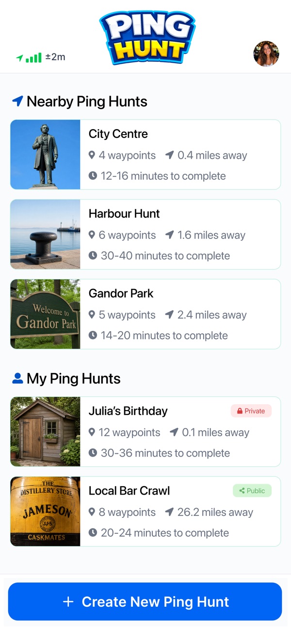
The app finds a hunt near you Follow the GPS
Walk to the first spot.
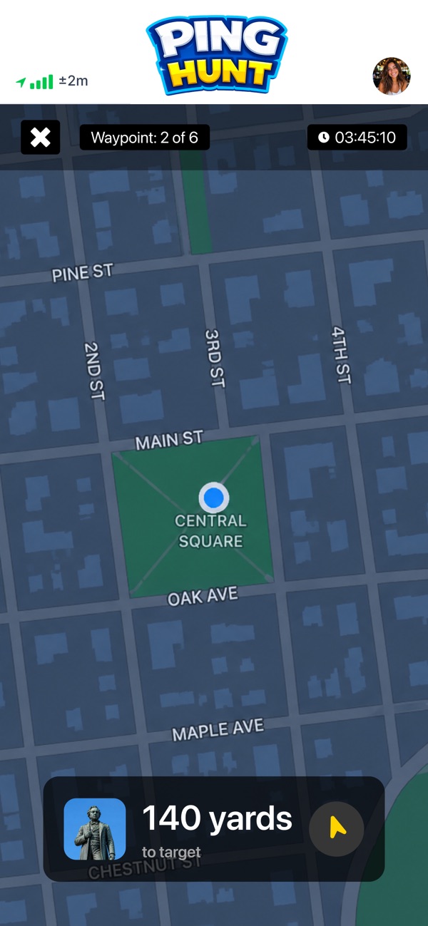
The map guides you to the first spot Match the view
Line up your camera with the photo to unlock the next spot.
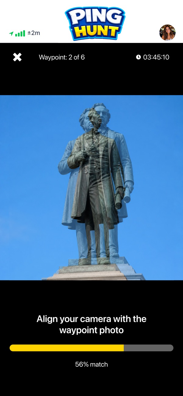
Matching the scene with your camera unlocks the next spot
What it costs
Ping Hunt is free to download and free to play. There is no subscription and no premium tier, and playing a hunt costs nothing.
If that ever changes, it will be written down on this page.
You can also read more about how a hunt is generated on the How It Works page.
Where it works
Ping Hunt builds each hunt automatically from street-level imagery, so coverage depends on where that imagery exists. It is not available everywhere. In some places the imagery is a few years old, so a place can look different today. Where there is no imagery to build a hunt from, you can build your own instead.
We have dedicated pages for Copenhagen, Berlin and London.
Build your own hunt
You can build a hunt from real places and photos and share it with a single link. It works for birthday parties, classes, team days and visitor routes, indoors and out.
We have not published a screenshot of the hunt builder yet, so this section is text only.
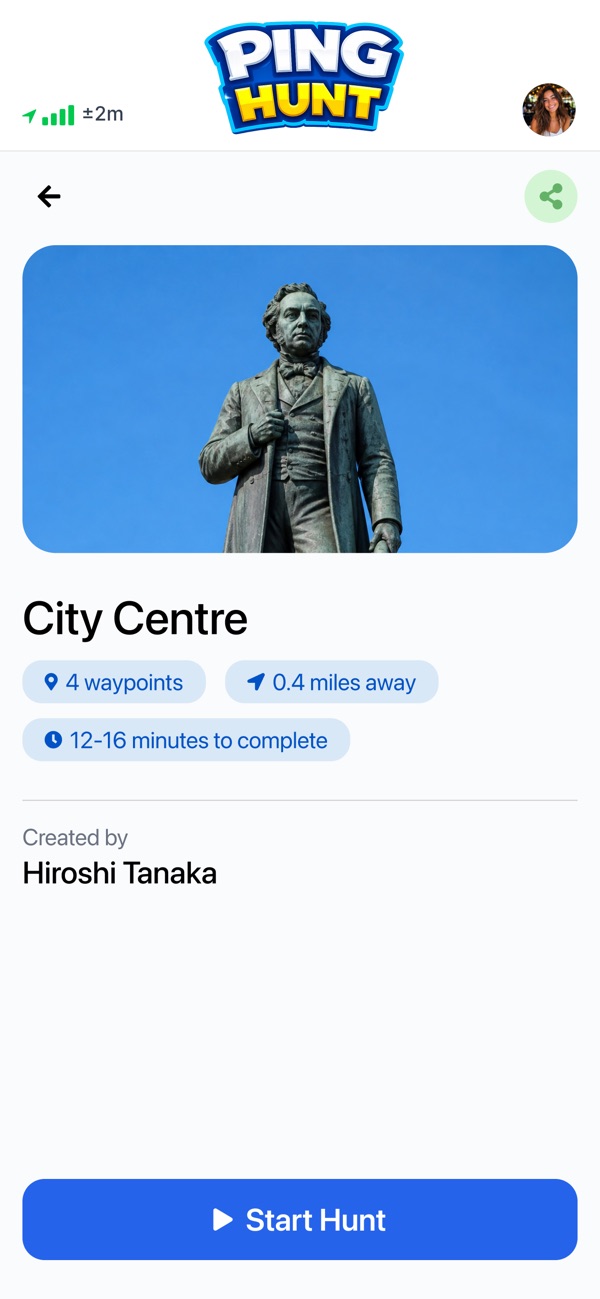
Screenshots
Real screenshots from the app.

Downloads
Contact
Questions about Ping Hunt? Write to support@pinghunt.com and a person will answer.